

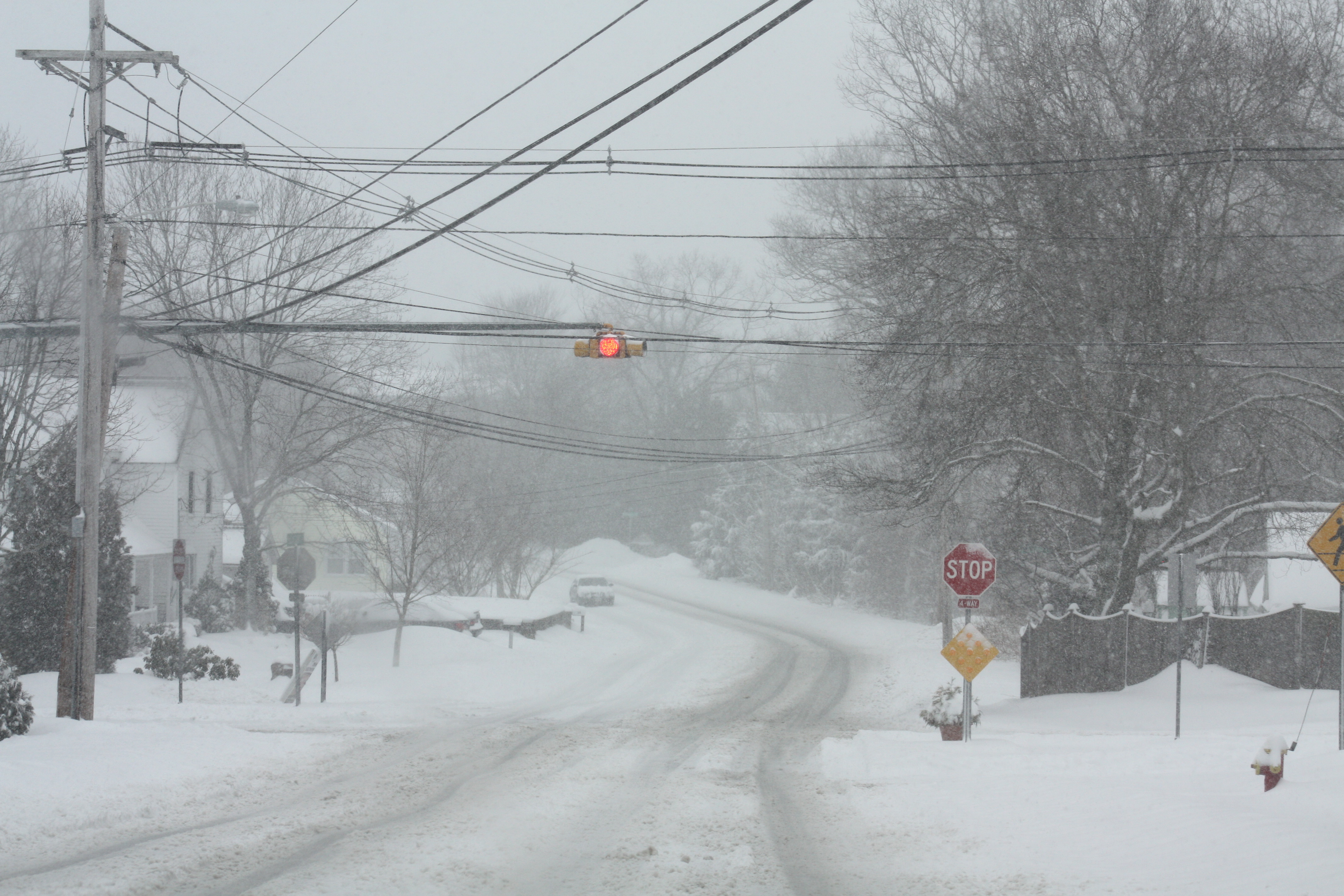
Pleasant and Mendon Street March 2013
by Meteorologist Jeb Postle
If you remember last winter, it seemed like it would never end as it extended well into March. Last year, Worcester recorded 85.2” of snowfall. That was above the average seasonal snowfall of 64.1” (2013-2014 Snow Totals). This supported my prediction last year of average to slightly above average snowfall and cold temperatures. When predicting long-range winter weather forecasts, Meteorologists and Climatologist analyze oscillations based on sea surface pressure and temperature. The following is my prediction for this upcoming winter.
My prediction for this upcoming winter is above average precipitation and average to slightly above average temperatures. The oscillation I looked at most for this prediction was ENSO, since it’s easier to see a trend over several months. ENSO is based on the sea surface pressure and temperatures across the equatorial Pacific Ocean. The forecast is for the eastern Pacific to be slightly above average, indicating a state of neutral-slightly positive ENSO (slight El Nino) (El Nino/Southern Oscillation (ENSO) Diagnostic Discussion). I am thinking that the jet stream will be over the region, allowing for precipitation to be above average and temperatures to be around average to slightly above average.
Sources:
A). 2013-2014 Snow Totals; Golden Snow Globe National Snow Contest Snowiest US City Population 100,000+, 2014: http://goldensnowglobe.com/2013-2014-snow-totals/
B). El Nino/Southern Oscillation (ENSO) Diagnostic Discussion: Climate Prediction Center; Monday, November 10 http://www.cpc.ncep.noaa.gov/products/analysis_monitoring/enso_advisory/”>http://www.cpc.ncep.noaa.gov/products/analysis_monitoring/enso_advisory/
