
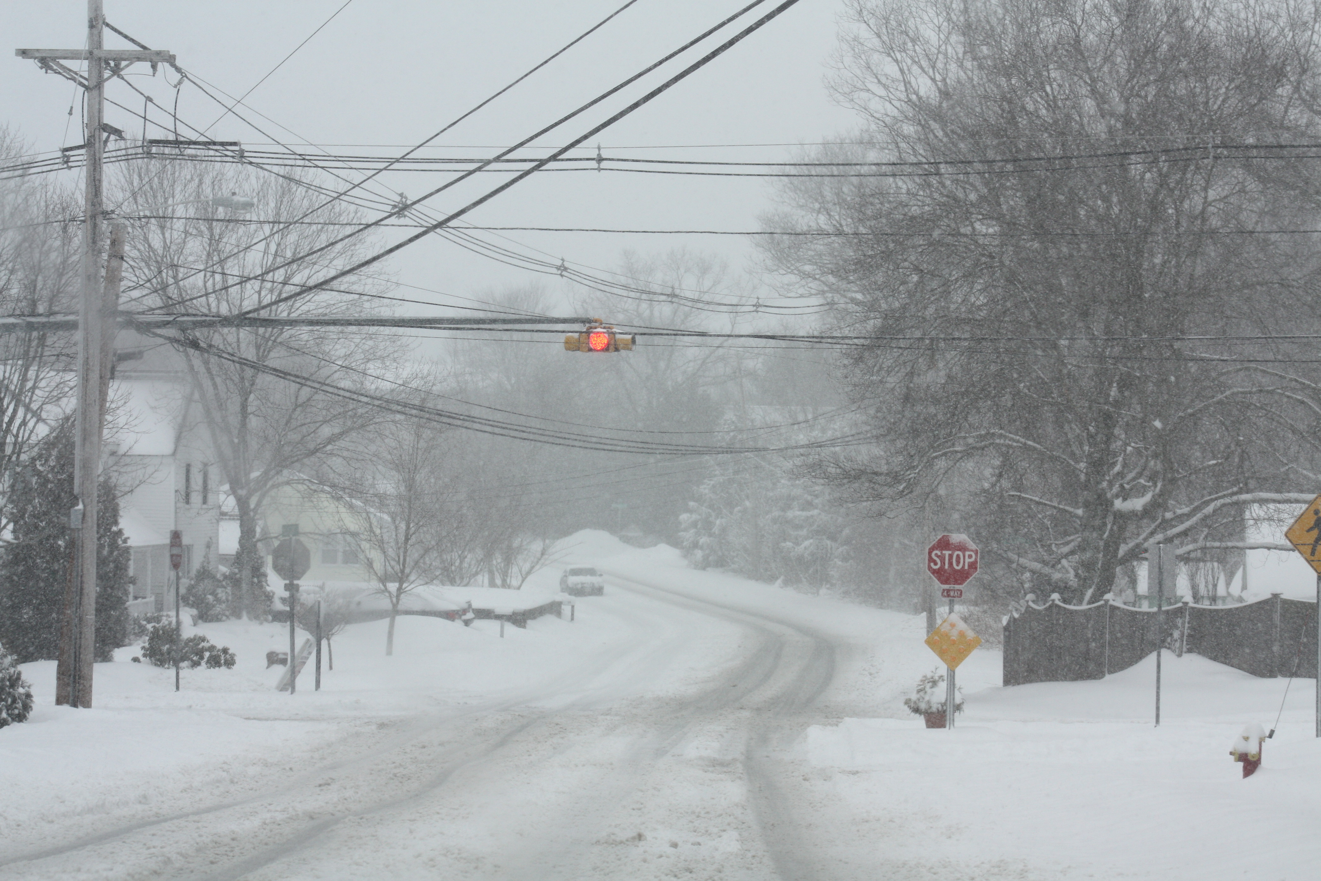
Winter Storm Watch – photo from 2013 March storm
by Meteorologist Jeb Postle
An area of low pressure will develop off the coast of the southeast late on Tuesday. With the position of the jet stream being over the northeastern United States, this will allow for the storm to move up along the coast and strengthen. At same time, there will enough cold air moving into the area from Canada. With this combination, it will allow for most of central New England, parts of northern New England, and Eastern NY to experience accumulating snowfall. The storm should depart out of the region by early Thanksgiving morning.
Alerts: The National weather Service has issued a winter storm watch from 7 A.M. Wednesday to 7 A.M. Thursday, for a threat of treacherous travel conditions from rain changing over to a wintry mix and snow.
Timeline: The rain-snow mix will begin to move into the area between 7-10 A.M. Right now, it is looking like temperatures will be above freezing through mid afternoon.
Right now, I am thinking the rain-snow mix will change over to all snow by early to mid afternoon Wednesday. The snow could be heavy at times late afternoon into the early evening. Afterward, the snow will begin to diminish and move out of the area between 12-2 A.M.
Early Snowfall prediction: 4-7 inches
Impacts: With the storm occurring on one of the busiest travel days of the years, it will be a headache going anywhere by air and by land across the northeast. I think through midday, the roadways will be mostly wet and any snow accumulating on grassy surfaces. By mid afternoon, I think temperatures will be at or slightly below freezing. Roadways will start to become icy and treacherous till late evening.
Note: There is still a lot of uncertainty with this storm, with regard to the track and timing of the event. Stay tuned, as I will continue to provide you updates on this Pre-Thanksgiving Storm. If anyone has any weather related questions, feel free to email me at jebril.postle@gmail.com
