
by Meteorologist Jeb Postle
If anyone mentions they love the snow, I am sure everyone will give them a dirty look across the region these days. The past month has been historic for the amount of snow that has fallen, particular across eastern New England. The following is a brief explanation of how much snow has fallen and why it’s occurring.
How much Snow?
According to NOAA, the monthly snowfall for Worcester is 17.1 inches in January and 15.6 inches in February. As you noticed, we have picked up more than double the snowfall averages for both months combined in the past 6 weeks. Through February 12th, Worcester MA has picked up around 84.2” of snow since January 1st. For the entire winter season thus far, Worcester MA has picked up around 92.9 inches (NOWData, 2015). With this data, this puts Worcester, MA at the top of the list for snowfall totals to date this season for cities with large populations (Fritz, 2015). Even though few may brag about this snow title, this still remains infamous to many. Compare this title to the widespread joy of our Boston sports team bringing home championships recently.
To properly measure snow depth, it requires taking snow core samples in multiple spots across an area. An easier way to view how much snow is on the ground is by using satellites. The following link shows the estimated snow depth across the region: http://www.nohrsc.noaa.gov/snow_model/images/full/Northeast/nsm_depth/201502/nsm_depth_2015021305_Northeast.jpg
According to the satellite imagery, the Grafton-Upton area has roughly between 30-39 inches of snow on the ground. Remember, some of snow has compacted and melted, which would result in a lower number than the total amount of snow received across the area.
Why it’s occurring
One explanation to the snowy pattern is the position of the jet stream. With a strong ridge of high pressure dominating the western United States and across the central North Atlantic Ocean, this has helped to create deep trough stretching across the Midwest-Central US towards the Northeast. This pattern in the jet stream results in disturbances being able to strengthen as they ridge along the jet over the northeast. Hence the reason why the majority of weather systems have brought heavy snowfall and strong winds to the region. Also, there has been an abundance of cold air in Canada. With every storm that has impacted the region, it has helped to tap in the cold air and allow for good snow ratios to occur.
Next Weeks Outlook:
The cold air will be locked in across the region for the start of the week. On late Tuesday into Wednesday, there is a chance of another snowstorm that may impact the region. At the start of the proceeding week, there are signs of a possible warm up. This would include high temperatures possibly being in the 30s. Its sad when 30’s sounds tropical, but anything that can start to gradually melt the snow is needed.
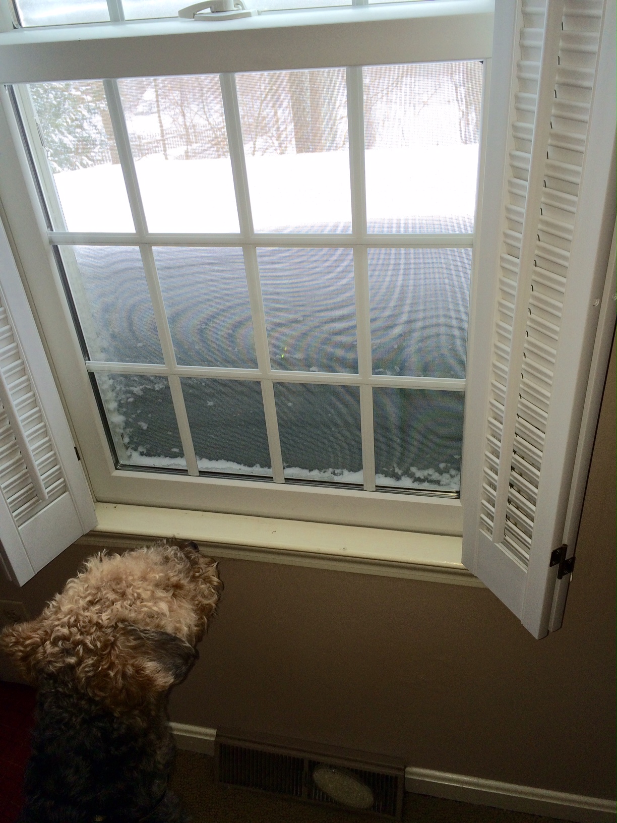
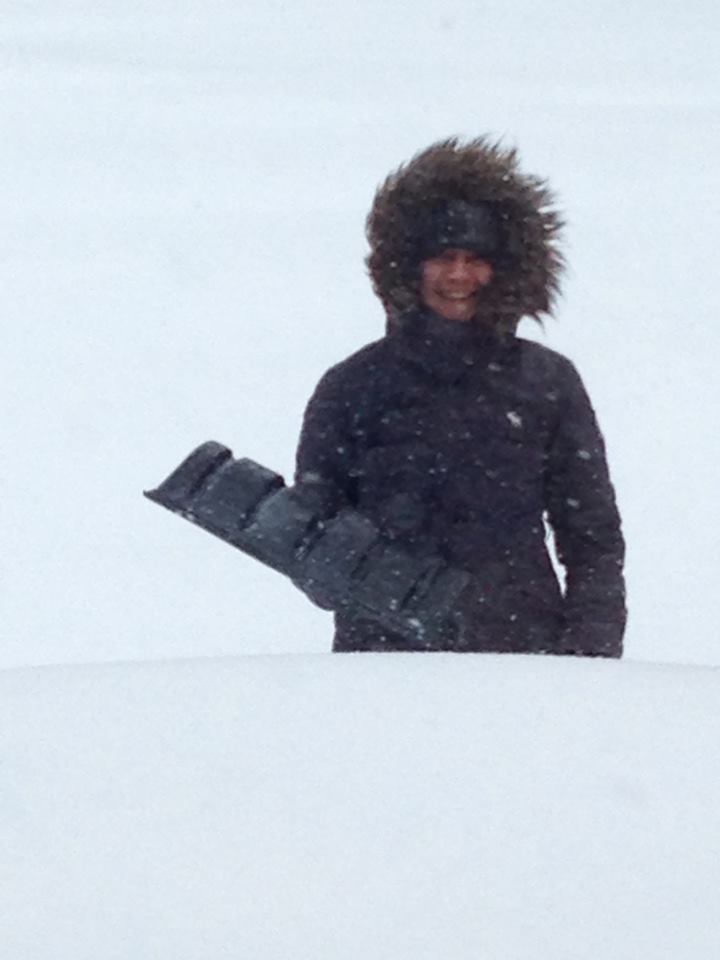
feature images: Dog by Window submitted by John Reed, Girl Ready to Shovel by Upton Daily
Sources
A). “NOWData-NOAA Online Weather Data: National Weather Service Forecast Office Boston, MA.”. February 13th, 2015. http://www.weather.gov/climate/xmacis.php?wfo=box
B). Angela, Fritz. “The top five snowiest U.S. cities so far this winter.” Capital Weather Gang/The Washington Post. February 12th, 2015. February 13th, 2015. http://www.washingtonpost.com/blogs/capital-weather-gang/wp/2015/02/12/top-five-snowiest-u-s-cities-so-far-this-winter/
C) “Regional Snow Analysis: Northeast.” The National Weather Service National Operational Hydrologic Remote Sensing Center. February 13th, 2015. http://www.nohrsc.noaa.gov/nsa/index.html?region=Northeast&year=2015&month=2&day=13&units=e
