

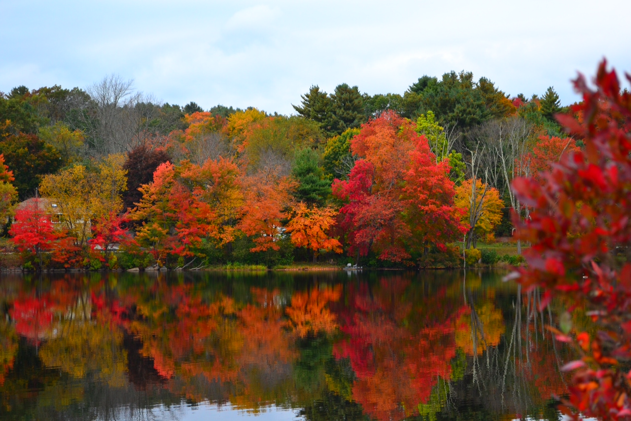
Photo by John Reed
by Meteorologist Jeb Postle
A ridge of high pressure will build in from the west, providing a dry and crisp fall cool air mass to the region through Thursday. Beginning on Friday, a gradually warm up will occur. This will continue through the weekend into early next week, with temperatures rebounding back into the 70s to near 80.
Forecast
Monday. September 22nd: Patchy fog possible early in the morning. Mostly sunny. High temperature around 68F. Winds from the west at 10-15 mph.
Monday Night: Mostly clear. Low temperature around 42F. Winds from the northwest at 5-10 mph.
Tuesday, September 23rd: Partly cloudy. High temperature around 67F. Winds from the west-northwest at 5-10 mph.
Tuesday Night: Mostly clear. Low temperature around 45F. Winds from the northwest switching to from the east-northeast at 10-15 mph.
Wednesday, September 24th: Mostly sunny. High temperature around 65F. Low temperature around 41F. Light winds from the east-northeast.
Thursday, September 25th: Mostly sunny. High temperature around 68F. Low temperature around 45F.
Friday, September 26th: Mostly sunny. High temperature around 74F. Low temperature around 50F.
Saturday, September 27th: Partly cloudy. High temperature around 76F. Low temperature around 56F.
Sunday, September 28th: Mostly sunny. High temperature around 80F. Low temperature around 58F.
Monday, September 29th: Mostly sunny. High temperature around 78F. Low temperature around 61F.
